Outdoor Opportunities for
Hiking
Off Road Biking
Primative Camping
Fishing
Equestsrian
Bird and Wildlife Viewing
Canoeing and Kayaking
Hunting in season
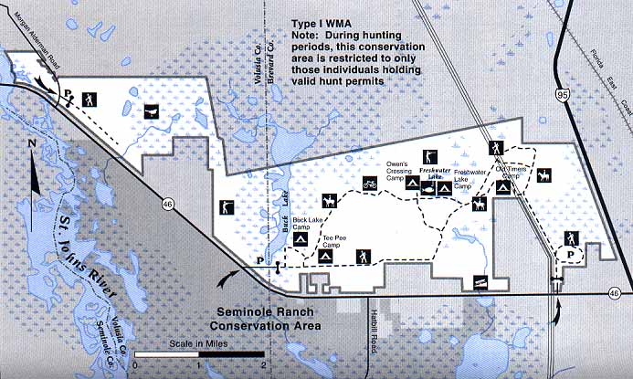
The eastern entrance is .75 mile west of I-95 while the western entrance is 6.4 mile west of I-95. Boating and canoeing access can be from the boat ramp at Six Mile Creek, a County boat ramp 3.5 miles west of I-95 on the north side of S.R. 46.
Map courtesy of the St. John's River Water Management District.